The Lefelau Byw / Living Levels Historic Map Viewer allows users to browse a range of historic maps alongside the 1m lidar data for the modern landscape. The digital maps displayed are from a variety of sources. You can find out more about each set of maps on our About the Maps. The viewer has some great features described below, which we hope will help you get the most from the maps.
Show Layers
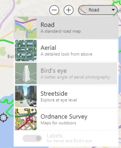
You can change the visible layers using the layer menu in the top left corner of the map. On small screens the menu is shown as a layer icon. Click to view the whole menu.

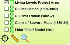
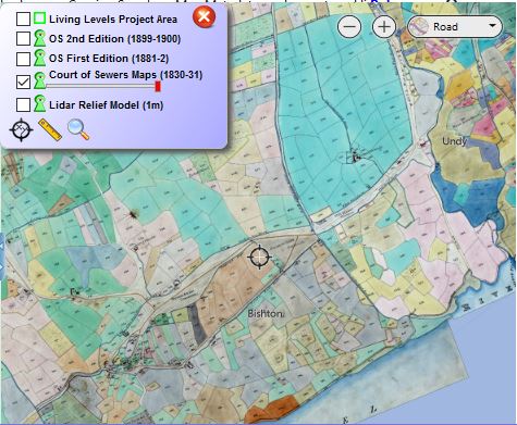
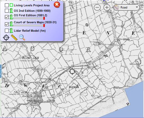
Each map layer sits above the others in chronological order so if you switch on both the OS first edition map (1881-2) and the Court of Sewers Maps (1830-31) you will only see the OS first edition. Tick the box beside any layer to add it to the map.
Keyhole Viewer
To view two layers simultaneously, use the Green Keyhole icon beside any map in the layer menu to move it to a keyhole viewer. This viewer can then be moved around the map and resized by clicking and dragging the green corner.


Change Opacity (Transparency)
Another way to view two or more layers simultaneously is to make them visible and use the Red opacity slider below the layer name to adjust how visible each layer is. The example below shows the partially transparent 2nd edition OS map overlain on the Court of Sewers map.
![]()
![]()
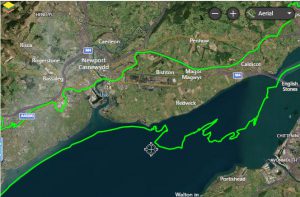
Change Background Map
The map viewer uses Bing maps to provide background images. You can change the background using the menu in the top right corner.
Search for a Place
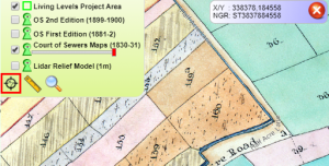
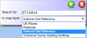
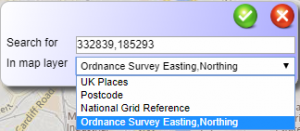
You can search for a place using a name, postcode, national grid reference, or easting/northing with the search tool at the bottom of the layer menu.
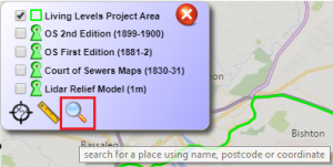
Click the icon and enter your search term, pick whether its a placename, postcode, grid reference or easting/northing then click on the green tick.
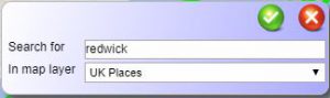
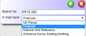
Click on the correct entry from the search results to automatically zoom to that location. 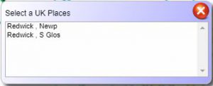
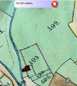
Measure Distance
You can measure distance using the measure tool at the bottom of the layer menu. Click to start drawing your line to measure, click to change direction and double click to end the drawing (and close the tool). The distance will be displayed in a pop-up.
Find a Co-ordinate
You can find a co-ordinate using the co-ordinate capture tool at the bottom of the layer menu. Click anywhere on the map to get the national grid reference and easting / northings.