Here you can explore maps and information about the Levels area collected and curated by our volunteers on our Geographical Information System (GIS). You can also find out how to get involved in our projects to put the people, places and stories of the Levels on the map.
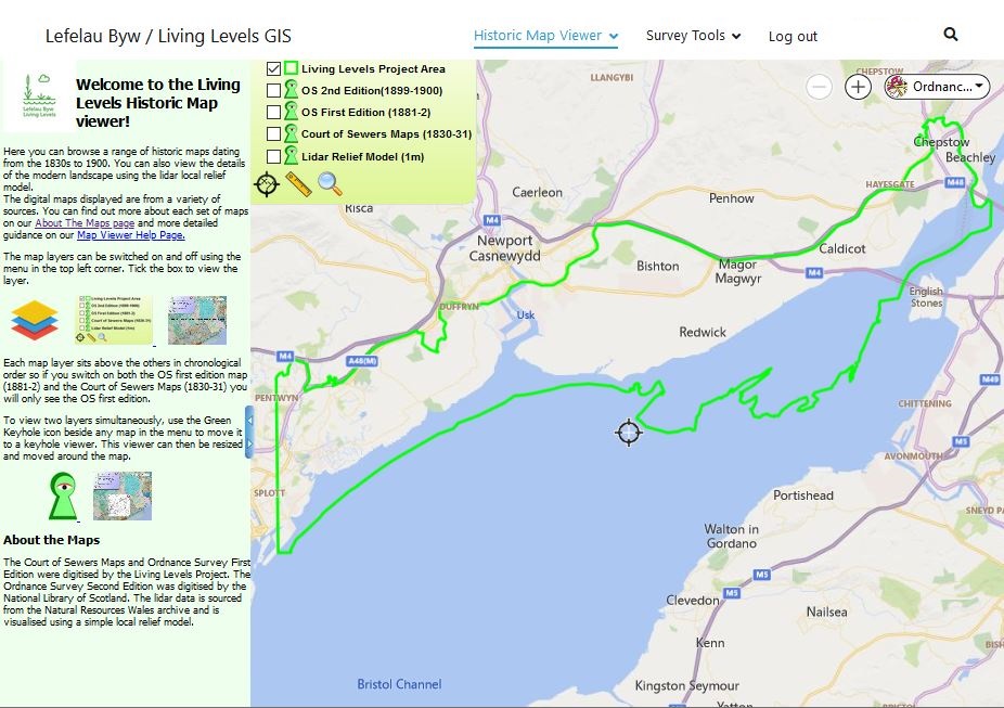
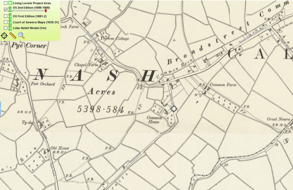
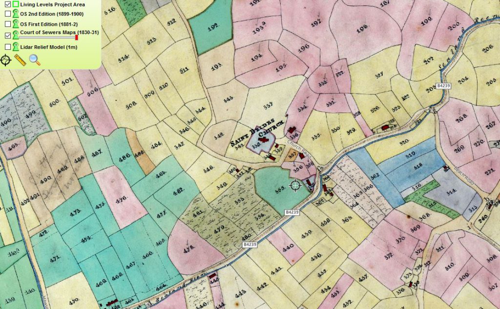
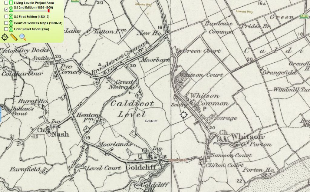
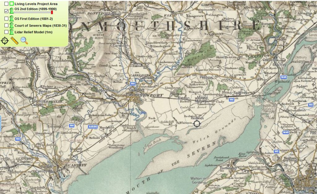
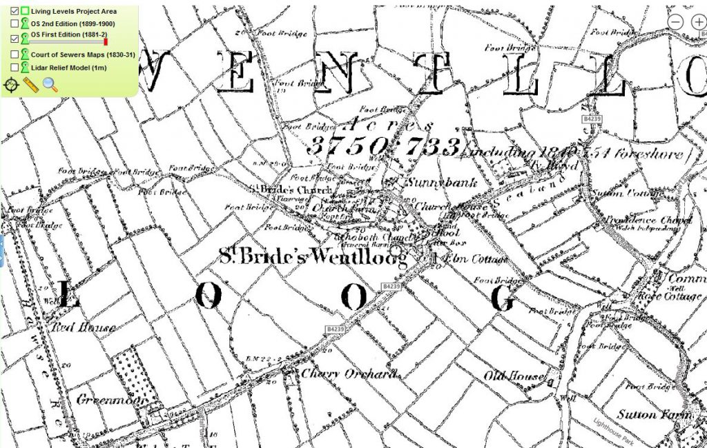
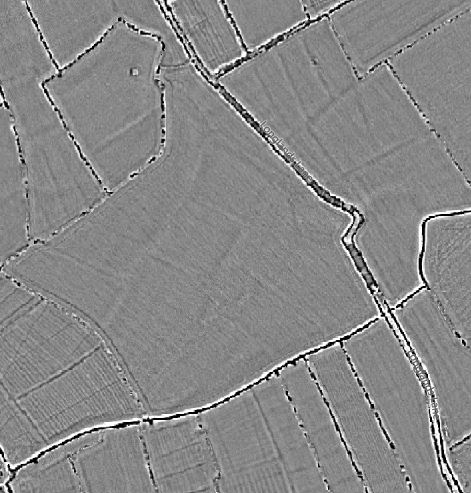
Take a look at our amazing interactive set of historic maps showing almost 200 years of change the changing levels landscape.
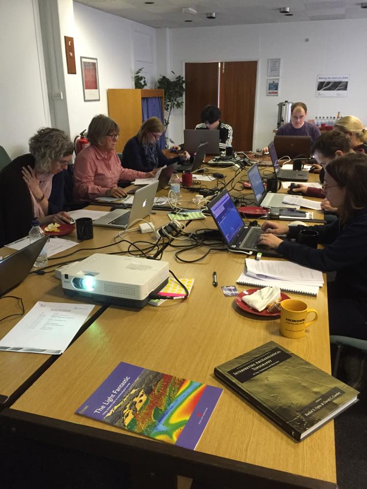
Your GIS needs you! Find out how you can help us with the mapping the Levels from the comfort of your sofa or out in the fields.